What are Unconventional Resource Areas?
These areas have been studied and mapped out to help understand the regional framework and potential of each Unconventional Play.
Each data set is different, but includes information like
- Initial Production Rates Oil/Gas
- Highlighted Activity
- Structure
- Isopach
- Cross Sections
- Isopotential
- Cumulative Production
- Tectonic Features
- Drilling depths
- Sub Crops
- Type Logs
- Annotated Logs and Scout Tickets
- Surface Geology
Please refer to your area of interest for the specific information available for this play.
Formats & Fees Our unconventional studies can be licensed as digital files, accessed online, or in paper format.

Digital map files
Unconventional studies are available as georeferenced tiffs. These studies can only be licensed and need to be returned at the end of the licensing period. To find out the exact licensing fee and term for a particular map, please contact our sales team.

Online access
Online access to unconventional studies are available through Geomap Online. Please contact our sales team.

Paper maps
To license an unconventional study in a paper format, please contact our sales team.
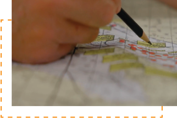
How Geomaps are created Hand-drawn by geologists with 30+ years of experience, updated quarterly
Creating a contour map is a highly interpretive process. And although a computer can create a map much faster, a map created by an experienced geologist is usually more accurate.
The reason for it is that a computer spreads contours while relying on a mathematical calculation and not a geological interpretation. But an interpreter who knows the geology of an area incorporates all the aspects of local geology into that contoured map.
For example, a computer might evenly space the contours between the two points with different elevations, where in reality a monocline may exist. An experienced geologist familiar with the area will include the axis of a monocline, which will result in a more accurate map.

Trusted by


3r

marathon

castex

Chesapeake

Chevron

Cresta Fund

DB-LOGO

Denbury

Devon

EOG

GCS

GeoSouthern

llog

petro hunt

ocelot

oxy

Pillar

Pioneer

Shell

SM

Steward

Stonetex

Talos

Tellurian

Texakoma

Wagner

WEYERHAEUSER
