Who we are
Geomap Company is one of the largest suppliers of geological mapping services in the United States. For over 60 years, we've created regional custom maps for industry professionals across the nation, making your job as a geologist and researcher easier since 1959.
We provide over 3,000 unique custom maps, which cover the major basins of America. By taking unique, hard-to-find information and combining the creative thought and research of our scientists, we help you make business decisions faster and with more confidence.
Detailed up-to-date maps for both geoscientists and investors
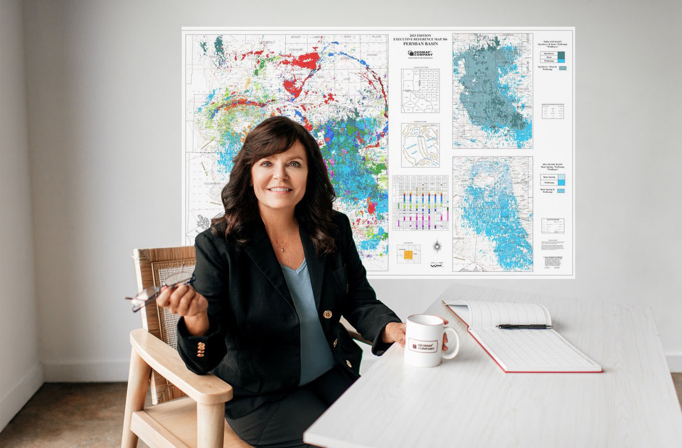
Geomap has done the hard work for you with our structure, base, and executive maps, hand-drawn, tested, and verified by our geologists with over 30 years of experience.
Does your exploration team need a quick head start for a competitive edge on a new project? Our team can show you where to concentrate your efforts and what areas to avoid.
Are you feeling lost in a section, unable to find your correlation or wells of interest? Our geologists can help you quickly get familiar with the structural setting of a new or existing area and provide you with an objective second opinion on other geologic interpretations.
Major oil companies, large independents and many small operators have relied on the expertise of our maps and exclusive geologic information, primarily through our private library—the largest geological library and the only national data library in the U.S.
Trusted by


3r

marathon

castex

Chesapeake
Chevron

Cresta Fund

DB-LOGO

Denbury

Devon

EOG
GCS

GeoSouthern

llog
petro hunt

ocelot
oxy

Pillar

Pioneer
Shell

SM

Steward

Stonetex

Talos

Tellurian

Texakoma

Wagner
WEYERHAEUSER
Our story 60+ years of attention to detail and meticulous verification
Geomap was founded in 1959 by exploration geologist Vernon Peppered in Dallas, Texas. He grew the company by buying Muldrow Map Company, an aerial mapping service for the oil and gas industry.
Sometimes, these maps included undocumented wells, which were not recorded in official documents but were verified by Geomap through field surveys. This has occasionally made Geomap the only source of certain well locations.
Correct spotting and attention to detail have always been at the forefront of all Geomap work.
Geomap's cartographic department collaborates closely with the geological department, which improves map accuracy by integrating geological data into the mapping process.
To this day, we keep checking and verifying every piece of information that gets included in our maps.
Our team Meet some of the 20+ geologists, cartographers, GIS, and other professionals dedicated to preserving geological information for future generations.
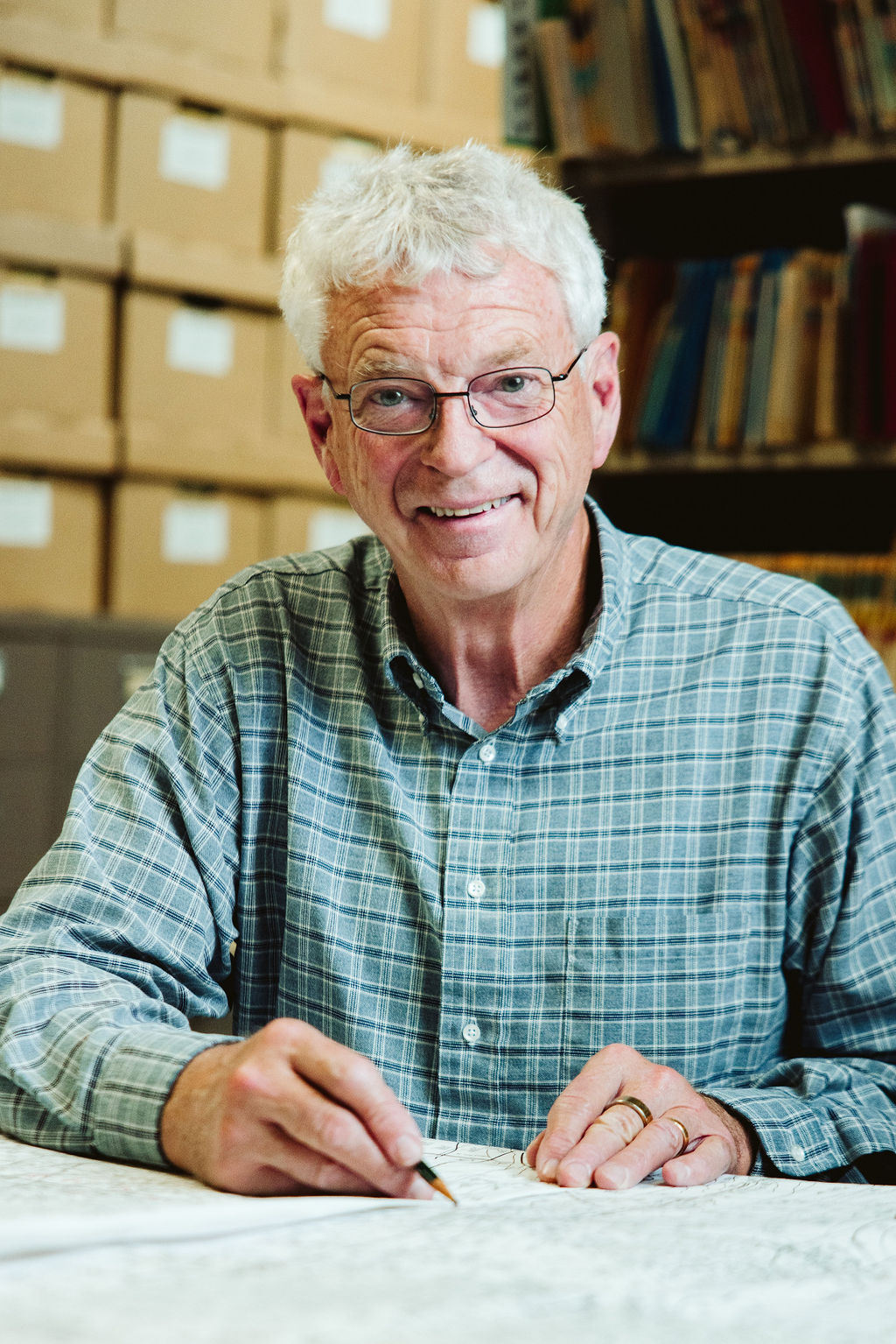
Roger Forsythe
Geologist
42 years of experience
Roger graduated from the University of Arkansas with a master’s degree in geology and began working for Geomap in September of 1982. For the next 40 years, his primary responsibilities were Mesozoic and Mid-Continent geology (Western Oklahoma/Texas Panhandle, Central Oklahoma, Arkoma Basin, & Black Warrior Basin). Roger has worked on projects in South Texas, Central Texas, West Texas, and the Rocky Mountains. He created maps for Fayetteville Shale, Woodford Shale, and New Albany Shale, as well as the Michigan Basin.
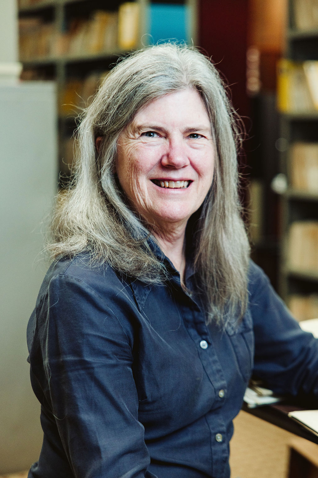
Charlotte Klenk
Geologist
40 years of experience
Charlotte has extensive experience in the oil and gas business. She has managed all phases of exploration activities including prospect generation, land acquisition, well-site work and electric log evaluation and worked with computer-generated statistics for initial delineation of areas, economic evaluations, and risk analysis. She is also a member of the American Association of Petroleum Geologists and the Dallas Geological Society and is a Certified Petroleum Geologist #5888 and Certified Earth Scientist #3321. At Geomap, Charlotte is responsible for the maps of Central Texas and Fort Worth Basin.
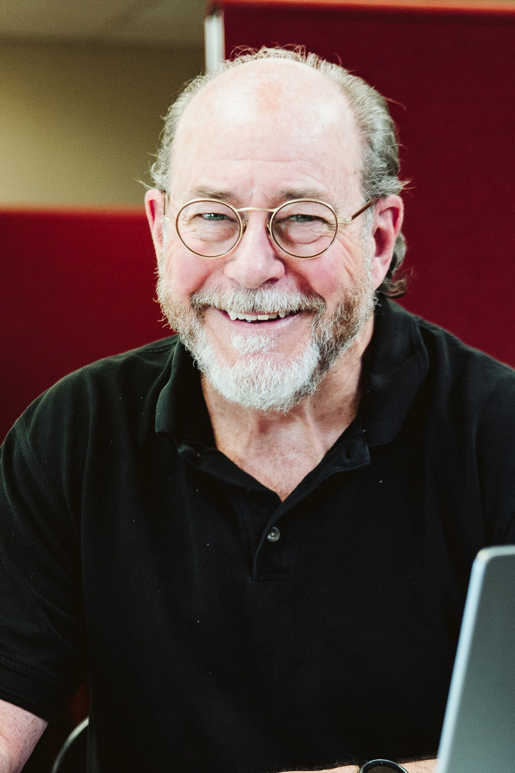
Gary Davis
Geologist
40 years of experience
Gary graduated from Texas A&M University with a B.S. degree in geology and has worked as a geologist for various exploration companies, generating prospects, assessing secondary recovery options, and estimating reserve projects. Gary returned to geology to work for Haas Petroleum Engineering in support of reserve estimating projects. He has extensive experience in most of the lower 48 basins, much of it in the Texas Gulf Coast. Gary joined Geomap in 2022 and is responsible for the Texas Gulf Coast mapping services.
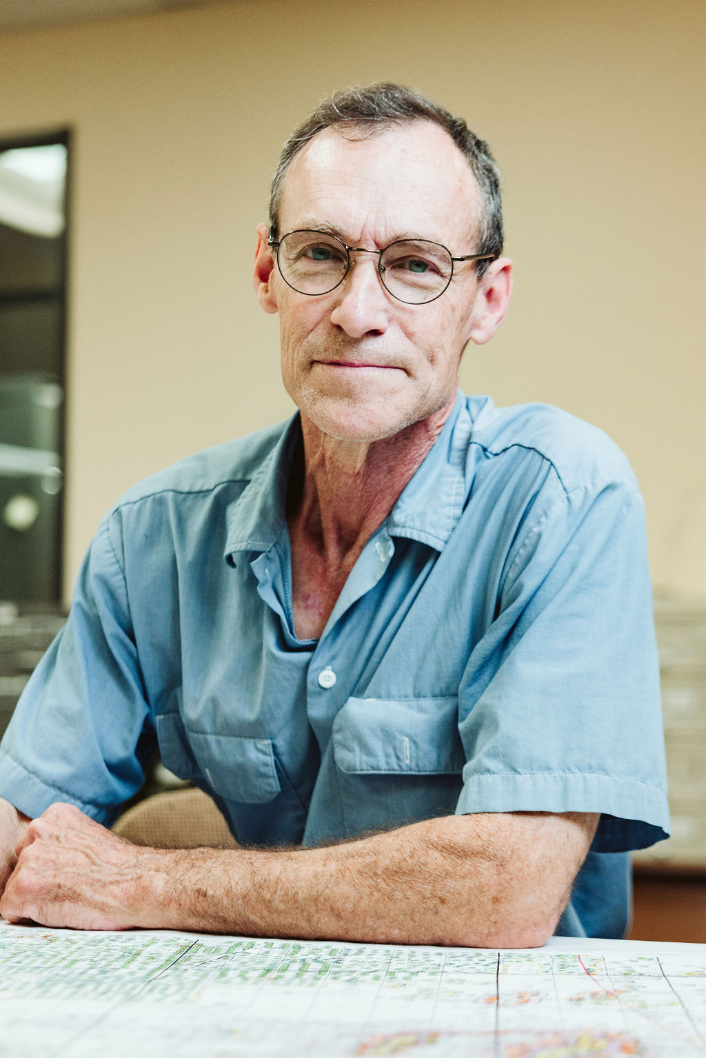
Joel Jordan
Geologist
38 years of experience
Joel received a B.S. in History from McNeese University and a B.S. and M.S. in Geology from Louisiana Tech. He started working at Geomap in 1988, and his expertise includes areas of Louisiana, south Arkansas, the Sabine Uplift, and Permian Basin, including its surrounding regions. Joel has worked on projects in the Niobrara of Colorado and Wyoming, southeast Texas, and the Tuscaloosa in Mississippi.
Mark Treml
Geologist
41 years of experience
Mark studied at the University of Wisconsin, Texas A&M, and the University of Houston, gaining two degrees in Marine Biology and Geology. He worked aboard research vessel Texas Clipper 1977, taking water samples to determine Chlorophyll "a" & Phaeophytin "a" pigment content in the Caribbean, Atlantic, Pacific, and the Gulf of Mexico. His research was published by Texas A&M for the Goddard Space Center in Maryland. Mark first began working with Geomap in the summer of 1980. His expertise in mapping services encompasses the Texas Gulf Coast, Central Texas, and the Eagleford & Pearsall shale.
